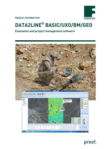
DATA2LINE® BASIC/UXO/BM/GEO Evaluation and project management software
The DATA2LINE software is a complete solution to administrate, edit and evaluate your geophysical survey. The software compromises the BASIC software as well as the UXO, BM and GEO Module.
DATA2LINE BASIC Software
Features
- User administration to limit access to sensitive data
- User-defined working space – presentation of all information in separate layers
- Layer with adjustable transparency can be activated or deactivated
- Layer-related toolbar
- Container file with the original field data and every other created content
- Import and Export of any document (e.g. emails, pdf, pictures etc.) into the container file
- All processing steps can be undone easily


